


 The European alternative
The privacy-first alternative to Google Maps & Mapbox.
EU-hosted, high-performance maps with zero tracking cookies and engineer-to-engineer support.
Try our APIs live:
The status-quo pains we solve.
The cookie & GDPR dilemma
Mandatory cookie banners from US providers wreck first-load UX and add legal overhead.
The integration support desert
You get locked behind automated bots and forum threads when something breaks.
Exploding, unpredictable costs
Metered, per-load billing creates surprise invoices that finance can’t forecast.
Own geo data is hard to integrate
Your structured data lives in Elasticsearch, Postgres or Solr, and bolting it onto a generic map API eats sprints.
From idea to a working map in a single prompt.
Connect the Maptoolkit MCP server to your AI assistant and it knows every endpoint, parameter and tile URL. No docs to paste.
https://mcp.maptoolkit.net
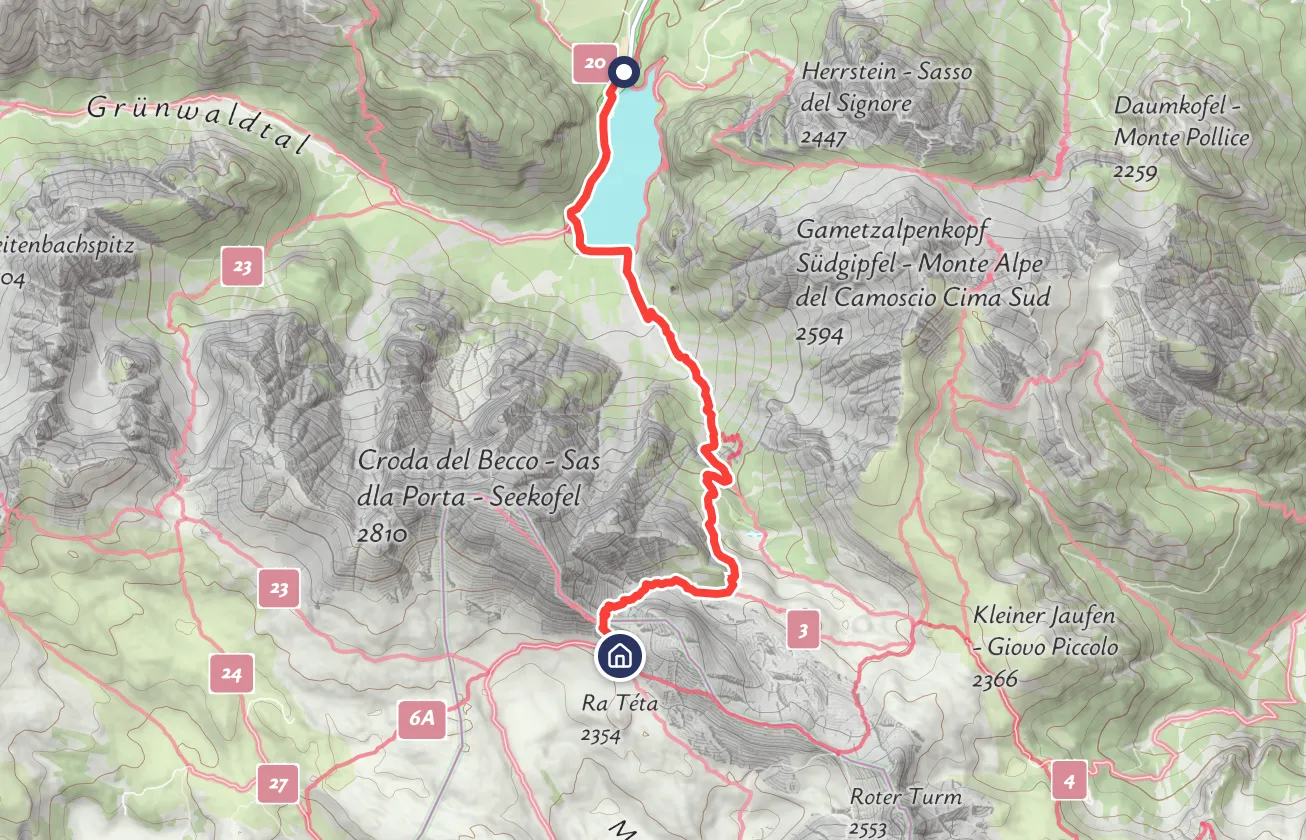
Here is your map: hiking style, 3D terrain and the walking route from the Routing API. Add your API key and it runs as is.
const map = new maptoolkit.Map({
  apiKey: "YOUR_API_KEY",
  style: "maptoolkit://styles/maptoolkit/maptoolkit.hiking",
  center: [11.388, 47.2985], zoom: 14, pitch: 55
}).setContainer("map");
map.once("style.load", async () => {
  map.addSource("terrain", maptoolkit.TERRAIN);
  map.setTerrain({ source: "terrain" });
  const url = "https://routing.maptoolkit.net/route?routeType=foot"
    + "&points_encoded=false&point=47.2869,11.3990"
    + "&point=47.3070,11.3780&api_key=YOUR_API_KEY";
  const { paths: [route] } = await (await fetch(url)).json();
  map.addSource("route", { type: "geojson", data: route.points });
  map.addLayer({ id: "route", type: "line", source: "route",
    paint: { "line-color": "#FA3F38", "line-width": 4 } });
});
Your own data on the map, in minutes.
Connectors read any structured source that answers on a URL. Maptoolkit caches, tiles and enriches your items on our servers, so the map stays fast with tens of thousands of them and your source never sees the map traffic.
How Maptoolkit Connectors work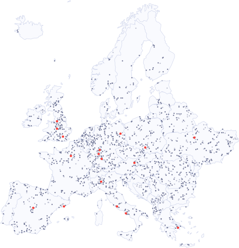








 + many more
Tourism and outdoor.
Destination platforms, hiking and cycling portals get our own outdoor cartography with trails, huts and elevation built in.
The same APIs run apps, portals and new products.
Mobile apps
Vector tiles and styles for MapLibre Native on iOS and Android, plus offline maps with Enterprise.
Maps for mobile apps
Real estate
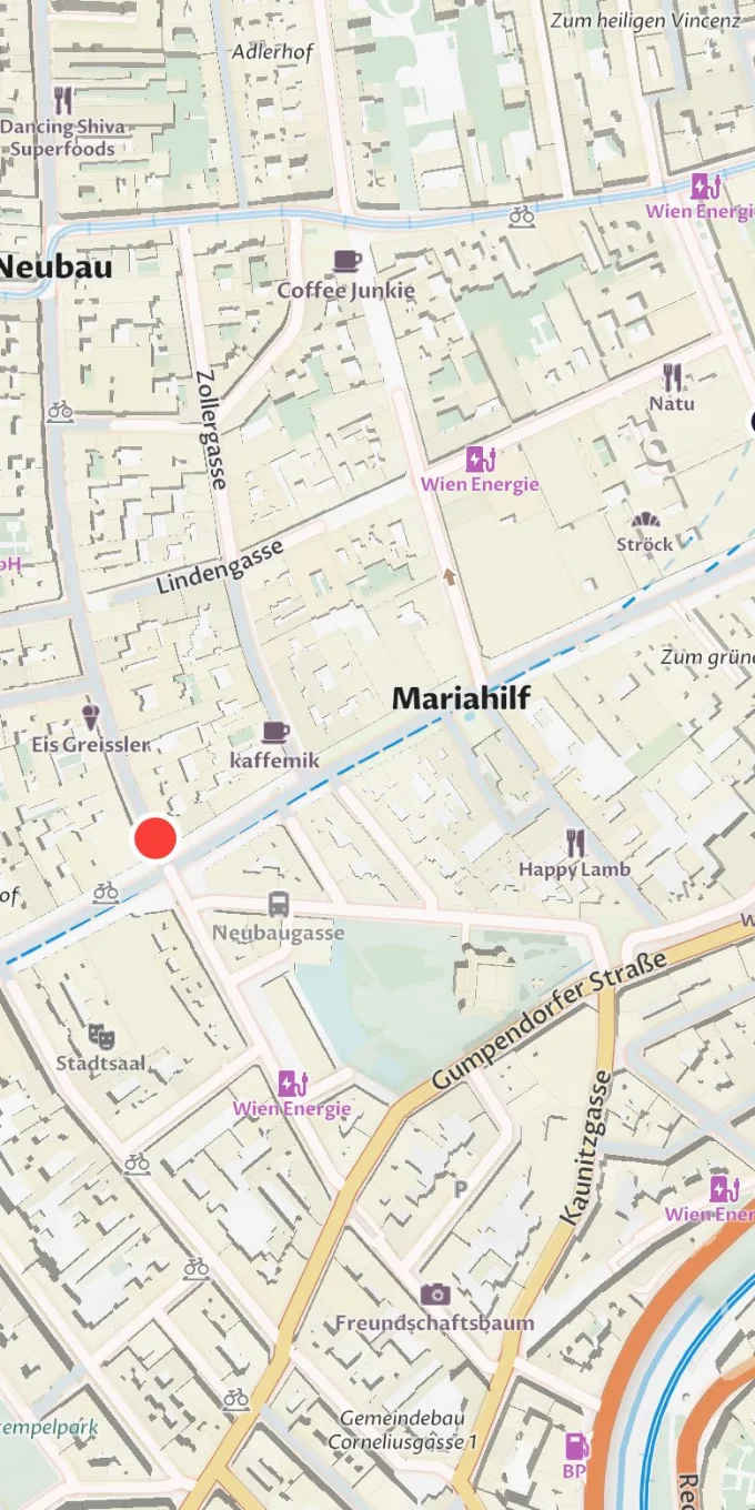
Listings, neighborhoods and travel times on a map that loads without consent.
Real estate maps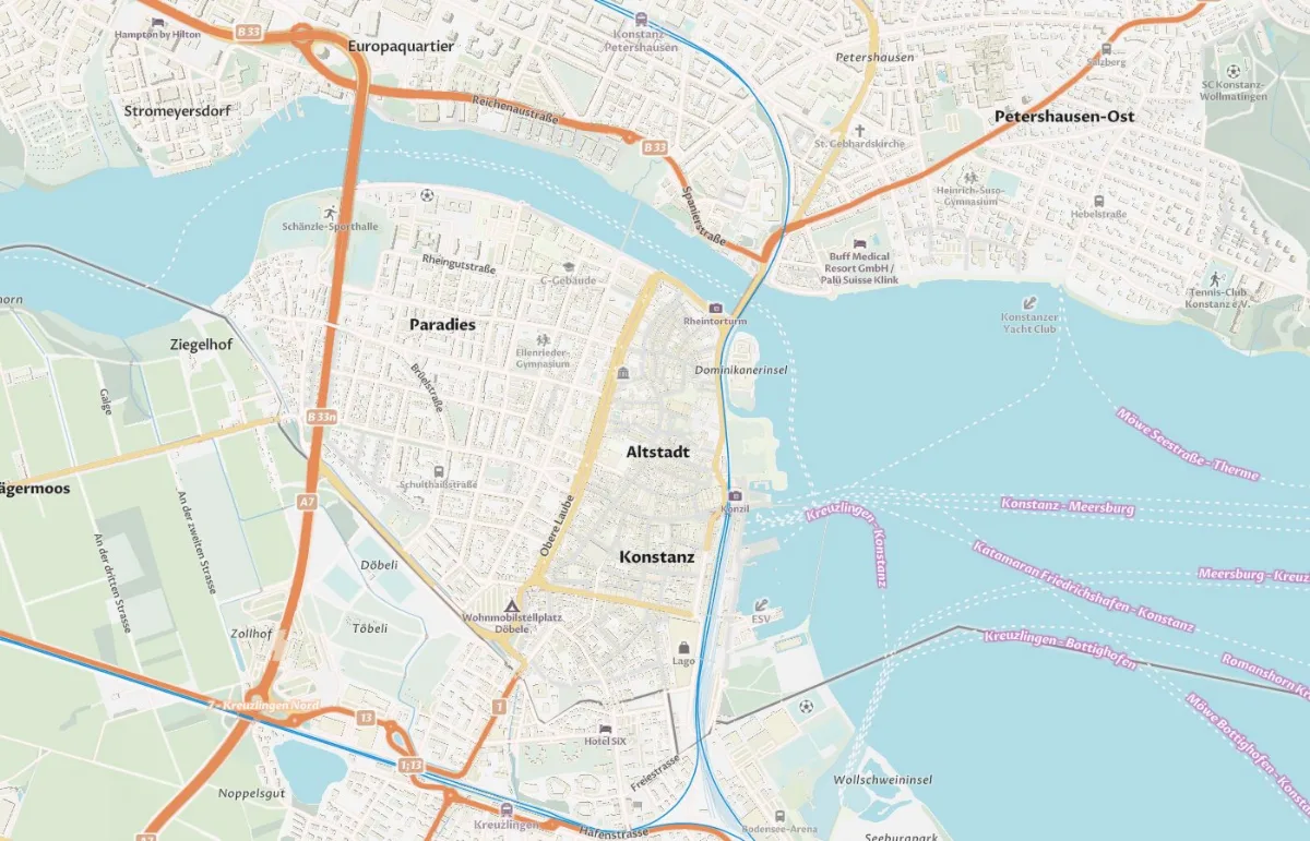
new maptoolkit.Map({
  style: "...maptoolkit.street",
  center: [9.175, 47.663]
})
Developers and startups
Start small on the free tier, ship fast, and keep a developer on the other end of support.
Plans for startupsWhat do you want to build?
Create interactive maps
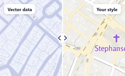
Vector tiles and seven map styles for MapLibre on the web, iOS and Android.
Plan routes and travel times
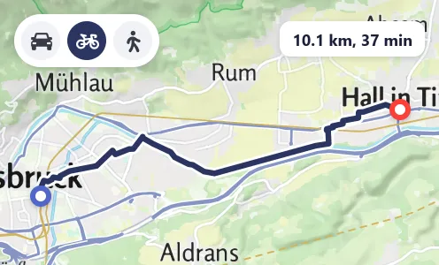
Routing for car, bike and foot, plus isochrones, map matching and elevation.
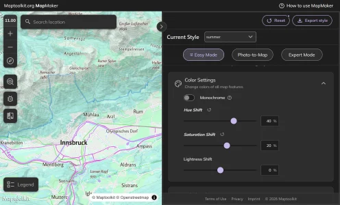
Design your own map style
Try colors, labels and layers in the MapMaker demo. Custom styles come with Enterprise.
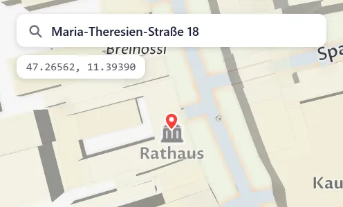
Find places and addresses
Geocoding turns addresses and place names into coordinates, and back.
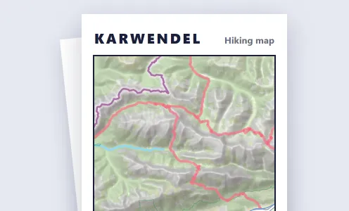
Print and share maps
Static map images from one URL, and print-ready maps for brochures and posters.
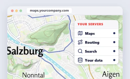
Run it on your own servers
Maptoolkit Server: the Maptoolkit services on your own infrastructure, run by your IT.
Questions about Maptoolkit.
Short answers on what Maptoolkit is, how it differs, what it is used for and building maps with AI.
What is Maptoolkit?
Maptoolkit is a European maps platform for websites and apps. It offers map tiles in seven standard styles, routing for walking, bike and car, address search, elevation, static map images, and Maptoolkit Connectors that put your own data on the map. The maps are built on OpenStreetMap and work with the open-source MapLibre library on the web, iOS and Android.
How is Maptoolkit different from the big map providers?
Maptoolkit builds on open foundations instead of a closed platform. The map data comes from OpenStreetMap and is rebuilt every week, and the maps display in MapLibre, an open-source library rather than a proprietary SDK. Our servers are in the EU. If you need full control, Maptoolkit Server runs the same services on your own infrastructure, operated by your IT.
What is Maptoolkit used for?
Maptoolkit is used for interactive maps on websites and in mobile apps, and its home ground is tourism and outdoor: route planners for hiking and cycling, elevation profiles and print maps. Other typical uses are travel-time areas around real estate listings, address search, map images for emails and previews, and maps that show your own data from an existing database.
Can I build Maptoolkit maps with an AI assistant?
Yes. Maptoolkit runs an MCP server that connects AI assistants such as Claude, ChatGPT, Gemini, Cursor and Windsurf to the Maptoolkit APIs. You add the server address https://mcp.maptoolkit.net to your assistant, then describe the map you need in plain words. The assistant knows the endpoints and parameters and writes working map code for you.
See your use case on a Maptoolkit map.
In the demo, one of our engineers walks you through the platform, your data and the move from your current provider.