


The height of any place.
Send one point or a list of points and get back the height above sea level in meters: for a summit, every hut in a region, or the points along a line across the mountains.
Where the heights come from.
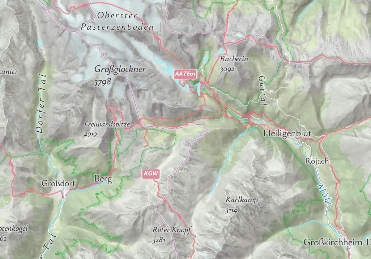
The heights come from Mapterhorn, which combines the Copernicus 30 m elevation model for the whole world with detailed models from national survey offices. So every point on earth gets a height, and you can fill in the missing heights of your places, tours or listings.
Resolution of the national source data per country in the Mapterhorn catalogue (October 2026); some regions have finer models. Elevation data: Mapterhorn (Copernicus GLO-30 and national sources). Country shapes: Natural Earth.
Heights for places, routes and lists.
One API for single places, for points along a route and for whole lists of data:
Heights for places
Show how high a hut, a summit or a viewpoint is, for example the huts of the Zillertal Alps.
Profiles along routes
Look up points every few dozen meters and draw the profile: from Salzburg up the Gaisberg, 846 m of climbing.
Fill in missing heights
Places without a height get one: the villages of the Ötztal, from 775 m in Oetz to 1,927 m in Obergurgl.
One request, a list of numbers.
Put the coordinates in the web address and get back a plain list of heights. Available with the self-service plans on RapidAPI and with Maptoolkit Enterprise.
const url = "https://elevation.maptoolkit.net/?loc=47.0745,12.6939&loc=48.2085,16.3725&api_key=YOUR_API_KEY";
const heights = await (await fetch(url)).json();
// [3788.0, 171.3] (rounded): the Großglockner and Stephansplatz in Vienna
loc or points
Repeat loc=lat,lng for each place, or send a list in points=[[lat,lng],…]. Latitude comes first.
A plain list of numbers
Heights in meters, in the order of your points, for example [3788.0, 171.3].
About 250 points per request
The points travel in the web address. Split longer lists into batches and join the answers.
Whole tracks
Use GET for this API. For a whole track in one request, the Route Enhancement API takes the line in the request body.
API key
Add your key to every request (api_key). Errors come back as plain text, not JSON.
Monthly quotas
Limits are monthly request quotas that come with your plan, not a rate per second.
Where heights are used.
Wherever people want to know how high a place is or how much a route climbs. Three common examples:
Tour portals
Every hike with its profile, climb and highest point, worked out from the route.
Mobile apps
Show hikers how high they are, from their position on the map.
Real estate
Add the height above sea level to every listing, for example for a house in the Alps.
Heights in these examples come from the Elevation API, routes from the Routing API.
Questions about elevation.
Short answers on elevation profiles and self-service plans.
How do I show an elevation profile on my website?
The documentation has working examples for MapLibre GL JS and Leaflet. Each one draws a route on the map and a height chart next to it, using the Maptoolkit elevation profile widget. When you move the cursor along the chart, the matching position is highlighted on the map. The route can come from the Routing API or from your own data.
Can I use the Elevation API with a self-service plan?
Yes. With a Basic, Pro or Ultra plan you call the Elevation API through RapidAPI and sign your requests with your RapidAPI key. Parameters and responses are the same as in the Maptoolkit documentation. With Maptoolkit Enterprise you call the Maptoolkit servers directly with your own Maptoolkit API key.
See your use case on a Maptoolkit map.
In the demo, one of our engineers walks you through the platform, your data and the move from your current provider.