


Open Source and Open Data.
Maptoolkit is built on OpenStreetMap, MapLibre and open terrain data. We give back with funding, code and free map tiles for the community.
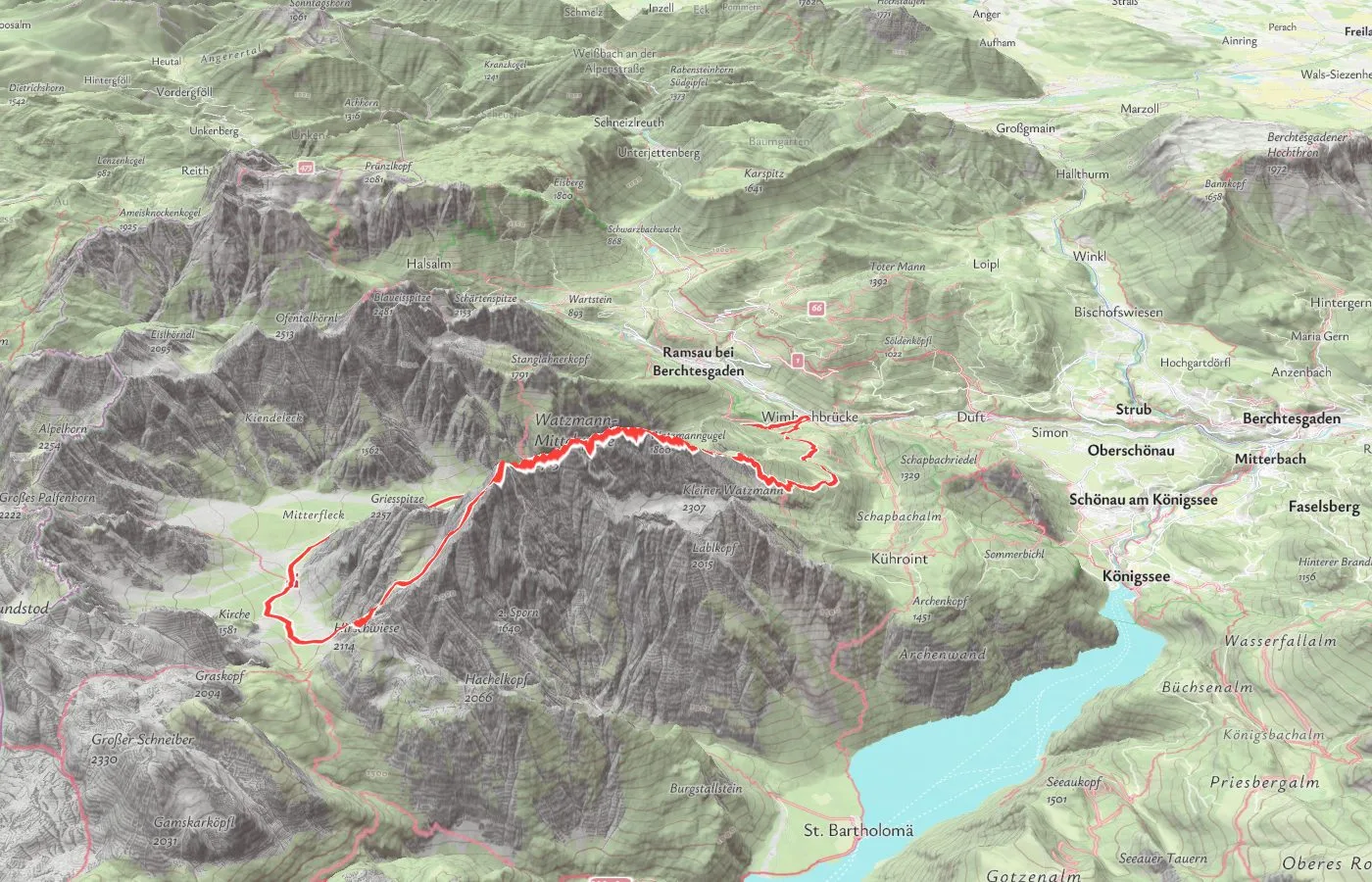
Built on open data.
Every Maptoolkit map starts with data a global community maintains. We support the organizations that keep it open.
OpenStreetMap
Our cartography, routing and search run on OpenStreetMap data. The basemap is rebuilt every week, and search takes in changes every day. We are a Bronze Corporate Member of the OpenStreetMap Foundation.
OSMF corporate membersMapterhorn
Elevation, hillshading and 3D terrain come from Mapterhorn, an open project for global terrain data. We sponsor it on Open Collective.
Mapterhorn on Open Collective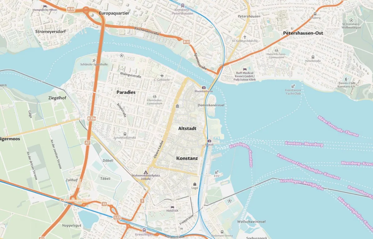
Contributing to MapLibre.
MapLibre GL JS is the open-source map renderer we build on. 3D terrain in MapLibre started with our team.
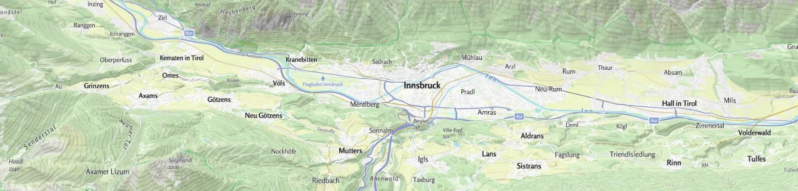
Our MapLibre plugins
Scene3D control
Shows the 3D buildings and trees of a Maptoolkit style, with roof shapes and city models.
GitHubThe plugins are published on npm under @maptoolkit, under the BSD-3-Clause license; the 3D Layers under MIT.
Static Maps Editor.
Our free WordPress plugin from the Printmaps team creates map images right inside WordPress.
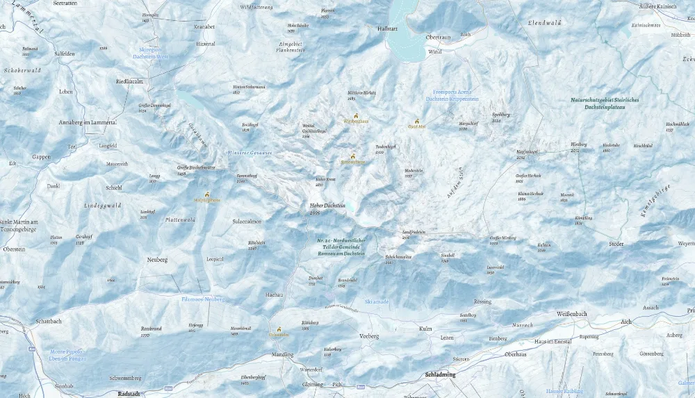
Free map tiles for open projects.
On maptoolkit.org we run free, production-grade vector tiles for non-commercial projects and small teams.
Explore maptoolkit.orgQuestions about open data.
Short answers on OpenStreetMap, data licenses, our open-source controls and elevation data.
What is OpenStreetMap, and how do Maptoolkit maps use it?
OpenStreetMap is a free map of the world that a global community creates and keeps up to date. Maptoolkit maps are built on it: every week we rebuild the entire basemap from the full OpenStreetMap planet file. You get fresh map data every week without running any map infrastructure yourself.
Which licenses apply to the open data in Maptoolkit maps?
Map data comes from OpenStreetMap under the Open Database License. Elevation and 3D terrain come from Mapterhorn, which combines open elevation datasets, and weather comes from DWD, the German weather service, under CC BY 4.0. These licenses ask for credit, which is why Maptoolkit and OpenStreetMap stay visible on every map.
What does Maptoolkit release as open source?
Our MapLibre controls for switching styles, showing travel-time areas, map legends, the Maptoolkit logo and the 3D buildings and trees of a style are open source under the BSD 3-Clause license, and the 3D Layers for buildings and glTF models under MIT. All are available on npm, and each has its own page in the Maptoolkit docs with setup steps and examples.
Where does the elevation and terrain data come from?
Elevation, hillshading and 3D terrain come from Mapterhorn, an open project that combines terrain data from many sources. It uses 30-meter Copernicus data worldwide and more detailed national models where they exist, for example 1-meter data for Austria and Germany.