


Maps that keep working without a connection.
Your app stores the map for a region or along a route on the device. When the signal drops, the map stays on screen: on a mountain trail, in the field or abroad.
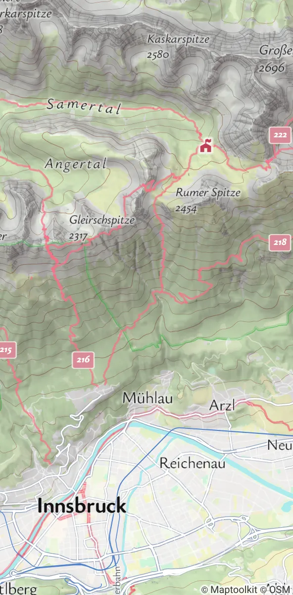
Download the map once, then use it without a connection.
Your app decides which area to store. After the download, the map loads from the storage of the device instead of the network.
A whole region or a strip along a route.
Storage on the device grows with the size of the area. Limit the downloadable area in your app to what your users need.
A region
The map for a whole area, for example the mountains above a town.
Along a route
A strip of map along a tour, with the route and its surroundings.
What works offline.
The downloaded map works on its own. Other Maptoolkit APIs can be combined with it; some of them need a connection.
How to set it up.
Offline Maps uses the map library in your app and the standard Maptoolkit maps, so there is nothing extra to install.
The map library in your app does the download. Your app chooses the area and the level of detail, and the map is stored on the device.
iOS and Android apps, with the free MapLibre Native SDK. Other map libraries work too if they can store maps offline.
The map comes as vector tiles (MVT) down to street level (zoom 15), with contour lines and terrain data. Raster tiles are available too.
Any of the seven Maptoolkit styles, or your own custom style with Maptoolkit Enterprise.
The map is rebuilt from OpenStreetMap every week. Your app can download an area again to get the latest changes.
Offline Maps are available for Maptoolkit Enterprise customers.
Where offline maps help.
Wherever mobile coverage is weak, missing or expensive. Three common examples, shown with real OpenStreetMap data:
Outdoor and hiking apps
Trails and huts can lie outside mobile coverage. The map and the route stay visible for the whole tour.
Field work
Teams in remote areas or with unreliable connectivity keep their map on the device.
Travel
A downloaded map can help users save mobile data and roaming costs abroad.
Questions about offline maps.
Short answers on routes, platforms, other APIs, your own style and storage.
Can my app calculate new routes without a connection?
No. Routes are calculated on our servers, so planning a new route needs a connection. Once a route is calculated and saved in your app, it stays visible on the downloaded map offline, together with the map itself. Plan and save routes before your users head out of coverage.
Does Offline Maps work on both iOS and Android?
Yes, as long as the map library in your app supports offline use. With the free MapLibre Native SDK, offline maps work in both iOS and Android apps. Other map libraries work too if they can store maps on the device. Offline Maps are available for Maptoolkit Enterprise customers.
Can I use Geocoding or Elevation together with offline maps?
Yes, they work together with offline maps, but Geocoding and Elevation need an internet connection. Address and place search runs on our servers. Elevation, once calculated, can be saved in your app and used offline. Request elevation for a route before your users head out of coverage.
Can I use my own map style and data layers offline?
Yes. Custom styles work offline as well, so your downloaded map keeps your own colors and look. Custom styles are part of Maptoolkit Enterprise. Your own data layers and overlays also work offline, as long as their data is stored on the device too.
How much storage does an offline map need?
It depends on the size of the downloaded area. Large regions can need quite a lot of storage on the device, so limit the downloadable area in your app to what your users really need. For a single tour, your app can store just a strip of map along the route instead of a whole region.

See your use case on a Maptoolkit map.
In the demo, one of our engineers walks you through the platform, your data and the move from your current provider.