


Maps your guests want to explore.
Show your region, its tours and its places on maps made for the outdoors: an overview map, tour pages with elevation profiles, a route planner and maps in your app.
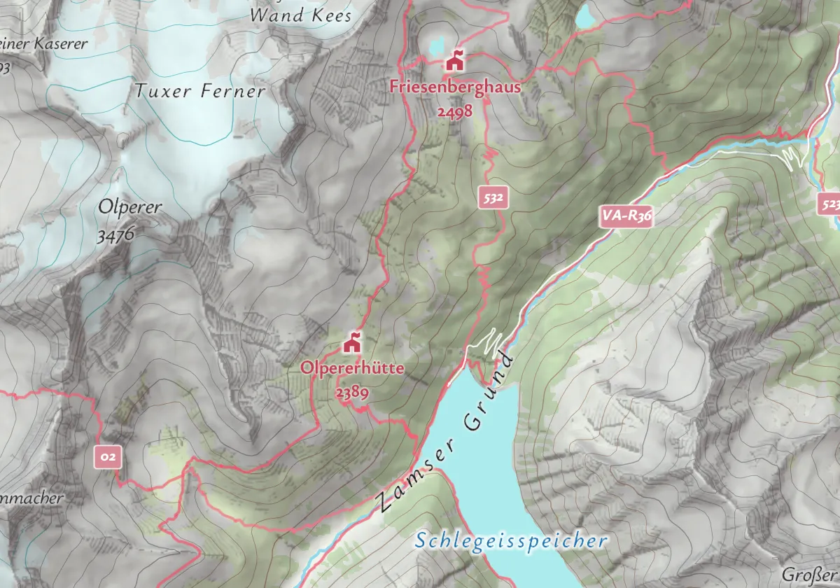
Six ways to show your region.
From the overview map on your website to the app on the trail. The images show real routes and places from the Zillertal and Innsbruck as an illustration.
Overview map
A full-screen map of your region with your huts, tours or events, shown and hidden from a menu.
Tour pages
Every hike or bike tour with its route, elevation profile, distance and time.
Location maps
A small map on every hotel, hut or event page that shows guests where it is.
Route planner
Guests plan their own way on foot, by bike or by car, with directions and a GPX download.
City walks
Stops with text and pictures in a list, and the same stops on a map.
Mobile apps
Saved maps and tours in your app that stay on screen without a signal on the trail.
Routes from the Routing API, heights from the Elevation API, places from OpenStreetMap (October 2026).
Made for the outdoors.
Our outdoor map styles show trails, cycle routes, huts, peaks and relief. Here is Zell am Ziller in four of them. A style in your own colors, fonts and content is part of Maptoolkit Enterprise.
Summer
Mountains shaded in relief, for every season.
Hiking
Waymarked trails and their signs.
Winter
A winter look for snow and ski regions.
Cycling
Numbered bike and mountain bike routes stand out.
Behind every map.
Your tours, huts and events stay in your own system. Maptoolkit adds the maps, routes and heights.
Routes for each way of travel, with time, distance and directions.
Ascent, highest point and an elevation profile for every tour.
Saved maps and tours stay available in your app on the trail.
Hosted in the EU, with IP addresses anonymized.
Questions about maps for tourism.
Short answers on label languages, trail difficulty, weather, reach from the hotel and wrong or missing trails.
Can the map show place names in my guests’ languages?
Yes. Besides the local name, the map carries place names in many languages, such as English, German, French, Italian, Spanish, Czech, Japanese and Chinese. You can pick one or follow each visitor’s browser language. Translations come from OpenStreetMap, so a city usually has many, while a small village or hut may only have its own name, which is then shown instead.
Can the map show how difficult a hiking trail is?
Where OpenStreetMap has the rating, yes. The map data grades hiking paths on the SAC scale, from T1 for easy hiking to T6 for difficult alpine routes, and also carries mountain bike and via ferrata grades. Your map can use these grades to color or filter trails, so guests see at a glance which paths suit them.
Can I show the weather forecast for my region on the map?
Yes, with Maptoolkit Enterprise. The Weather API shows forecasts from the German Weather Service up to five days ahead, with new data every 3 hours. It is most detailed for Germany and its neighboring countries and also covers the wider European area. Coverage is not worldwide, so check your region first if your destination lies further away.
Can I show guests what they can reach from their hotel?
Yes. The Isochrone API draws the area someone can reach from one point within a travel time you choose, for example 15 minutes on foot or 30 minutes by bike or car. You can put that area on your hotel or event page so guests see at a glance which sights, trails or restaurants are within easy reach.
What if a trail or hut on the map is wrong or missing?
The base map comes from OpenStreetMap, the open map anyone can edit. You or your team can correct a trail, add a missing hut or fix a name there, and the change appears on your Maptoolkit maps after the next map update. Your own tours, huts and events are not affected, because they come from your own system.
See your use case on a Maptoolkit map.
In the demo, one of our engineers walks you through the platform, your data and the move from your current provider.