


Maps for your app.
Vector maps that people turn and tilt with their fingers, routes from A to B and maps that keep working offline, in native apps for iOS and Android.
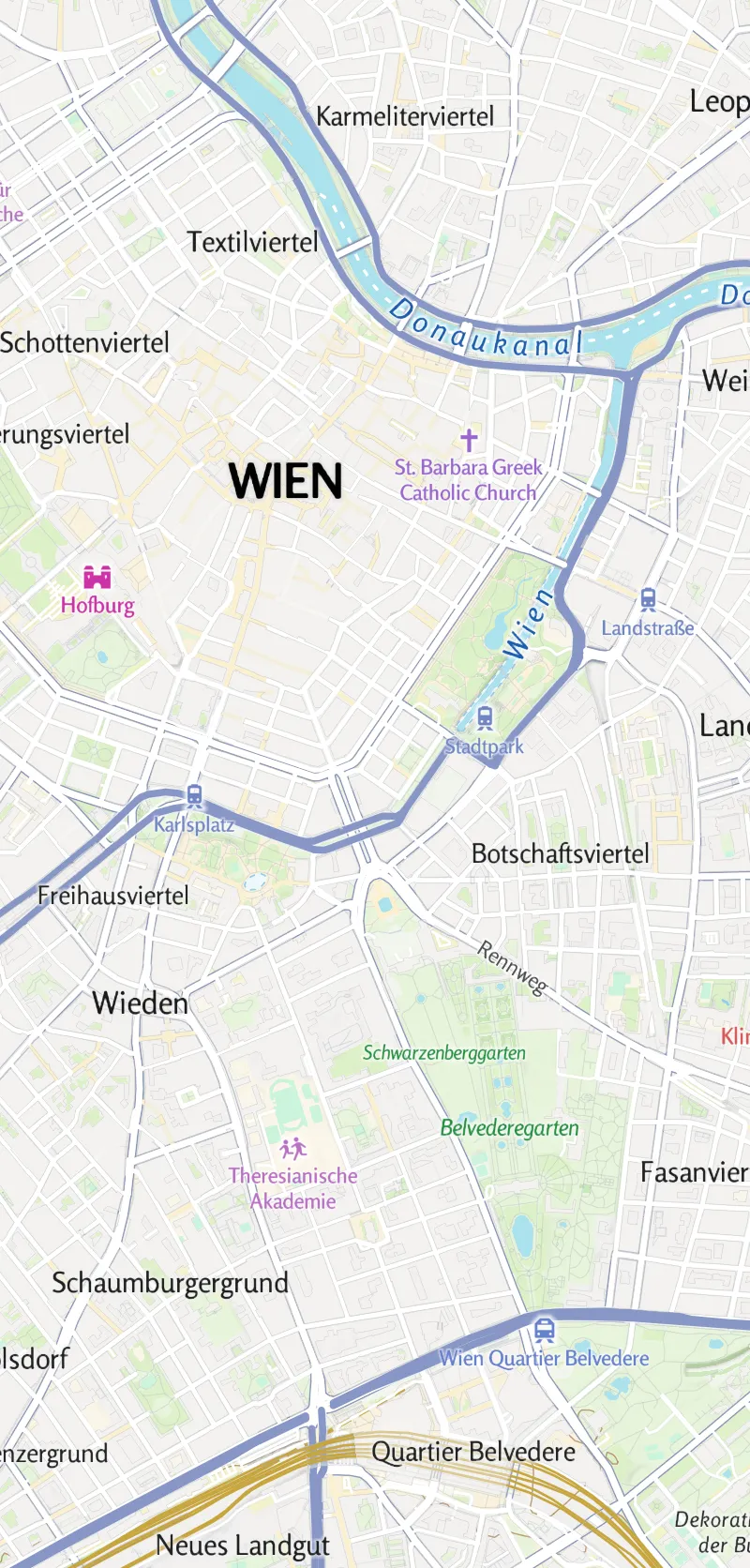
Places, tours and routes.
The three things most map apps need, on a map that stays smooth on any phone:
Your places
Show your locations and facilities on an interactive map.
Tours
Show your routes and tracks, with distance, time and an elevation profile.
Routing from A to B
Let people plan their own route on foot, by bike or by car, right in your app.
Real data: museums from OpenStreetMap, routes from the Routing API, heights from the Elevation API.
Works without a connection, too.
On hiking trails, in the mountains or abroad, the signal is often gone. Your app can keep the map and the routes people saved before the trip on the phone.
Packages or on demand
Ship a region with your app, or let people download the areas they need.
Saved routes stay visible
A route planned before the trip stays on the offline map.
Some things need a connection
Address search, new routes and new elevation lookups run on our servers.
One style address.
Add the open-source MapLibre SDK (iOS, Android and other platforms) to your app and point the map view at a Maptoolkit style. The style already contains all the map sources it needs.
val style = "https://styles.maptoolkit.net/maptoolkit/" +
    "maptoolkit.summer.json?api_key=YOUR_API_KEY"
mapView.getMapAsync { map -> map.setStyle(style) }let url = URL(string: "https://styles.maptoolkit.net/maptoolkit/"
+ "maptoolkit.summer.json?api_key=YOUR_API_KEY")
let mapView = MLNMapView(frame: view.bounds, styleURL: url)
view.addSubview(mapView)Styles
Use a Maptoolkit style with hillshading and contour lines, or your own custom style with Maptoolkit Enterprise.
Your data as GeoJSON
Connector data comes as GeoJSON. Grouping points into clusters needs a little code in the app.
Routing and navigation
Routes on foot, by bike or by car from the Routing API; for navigation screens, the open-source MapLibre Navigation SDK.
Offline maps
Map packages shipped with your app or downloaded on demand, with Maptoolkit Enterprise.
Attribution
Show the small Maptoolkit logo and the credit line on every map screen.
API key
Every request carries your key (api_key), already part of the style address.
The building blocks of your app.
Each part has its own page with the details:
The map itself: sharp at every zoom, turn and tilt, in a standard style or your own with Enterprise.
Maps on the phone, for places without a signal.
Routes on foot, by bike or by car, with distance and time.
Recorded GPS tracks snapped to the paths and roads people really took.
The height of any place, and elevation profiles for tours.
Your own places from your database, as a fast map layer.
Questions about maps in apps.
Short answers on map styles, live traffic, address search and your own points and routes.
Which map styles can my app use?
You can choose from seven ready-made styles: Summer, Winter, Hiking, Cycling, Street, Light and Dark. Summer, the default, is a topographic outdoor map with terrain shading. To switch styles, you change one word in the style address, so your app can offer a summer map, a winter map or a dark map. A style in your own brand colors is available with Maptoolkit Enterprise.
Do car routes in my app take live traffic into account?
No. Car routes and travel times are calculated on the road network without live traffic, so they do not change with rush hour or congestion. Routes on foot and by bike are not affected by this. For delivery or commuter apps that promise arrival times at busy hours, plan in some extra time.
Can I add address search to my app?
Yes, with the Geocoding API. It turns addresses and place names into coordinates, and coordinates back into addresses, so people can search for a place or see where they are standing. It finds places, but it is not a business directory: opening hours, photos, ratings and reviews are not included.
Can I show my own points and routes in the app?
Yes. The MapLibre SDK draws GeoJSON, so you can add your own points, lines and areas on top of any Maptoolkit style. The data can come from your own server, or from a Maptoolkit Connector that reads your database and serves it for you. Grouping many points into clusters needs a little code in your app.
See your use case on a Maptoolkit map.
In the demo, one of our engineers walks you through the platform, your data and the move from your current provider.